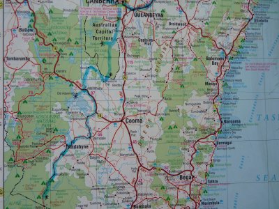
Hema 7 Page 34
Also former home for space tracking stations and a geodesic observatory.
Beautiful day for a walk but cold enough at night to freeze the sink drain at the tank.
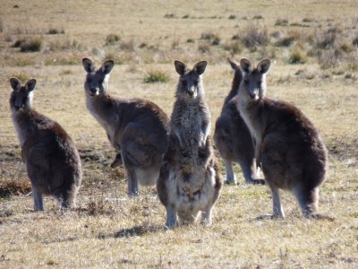
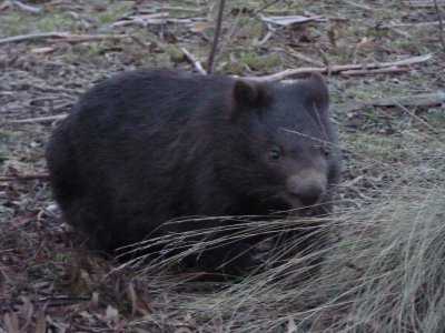
Lots of them.
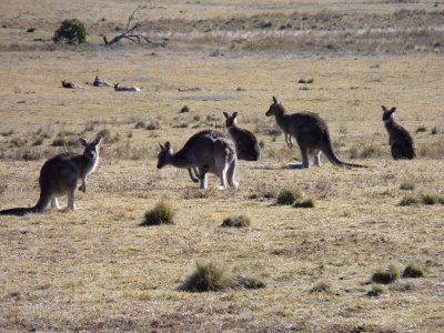
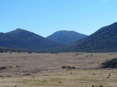
We have gazillions of photos of kangaroos in myriads of poses. The valley was full of them and the light was beautiful.
Had to add a bit of insulation to a drain that we'd missed. Couldn't use the sink until it had thawed out.
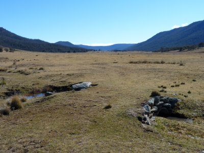
An early morning walk.
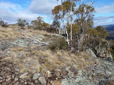
On the right and distance is coarse granite from about 410 million years ago.
Before you ask ... there's a little sign. Just that we had to walk a bit from the road South through Namadji to find it.
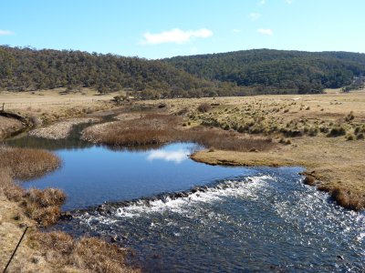
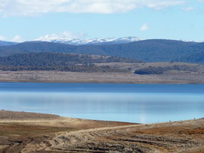
There's something fascinating for us about the distance (and obstacles) the water from the dividing range travels to reach the sea ... somewhere near Adelaide.
Topical as the debate on Murray-Darling basin irrigation has hotted up with the publication of draft guidelines for water use.
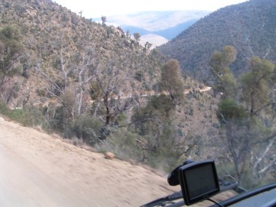
Not too steep gravel road, a bit dusty, lots of corners. And a tour bus that appears from nowhere in the middle of the road.
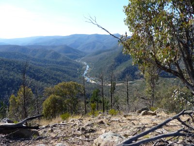
A few days following the Snowy River.
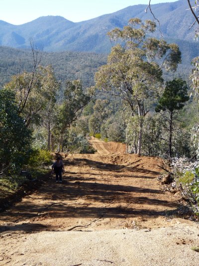
A "bit of a grunt" to walk up but the view improved with every step.
Lots of camping at Pinch River, with only us camping. So we stayed for a few days.
Walking up the ridge met a couple of wild horses which had made convenient tracks. Not sure who was more surprised.
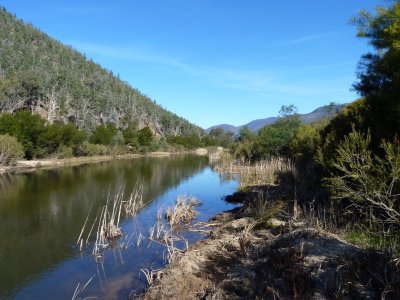
Too cold for swimming, but nice walking. Reeds made it a bit difficult to get close to the river in most parts.